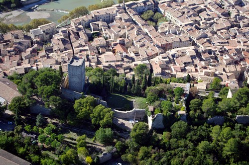
Geographic position

Sommières and the imprint of the river Vidourle
The commune has a population of 5,000 and is in the Gard département, close to the boundary with the Hérault. It developed on the banks of the Vidourle, a coastal river that fashioned history and the economy of the town and the valley.
The source of the Vidourle is at Saint-Roman-de-Codières (altitude. 630 m) in the Cévennes above Saint-Hippolyte-du-Fort. It flows into the Mediterranean after 85 kilometres at Le Grau-du-Roi. It is very quiet in the summer and is used for swimming, fishing and canoeing but can become impetuous in the autumn. It has given the name 'vidourlades' to the famous floods that can submerge part of the town in a few hours.
Sommières is at the crossroads between the Camargue, the garrigue area and the Cevennes. It is ideally placed 35 kilometres from Montpellier, from Nîmes, from the sea and from the foothills of the Cévennes. In Roman times, the Via Luteva that ran from Nîmes to Toulouse via Lodève crossed the Roman bridge (Ist century BC). This strategic position explains the growth of the town since the Neolithic and its role as the market town for the area since the Middle Ages.

